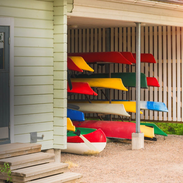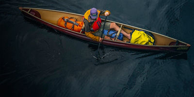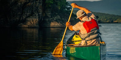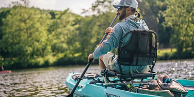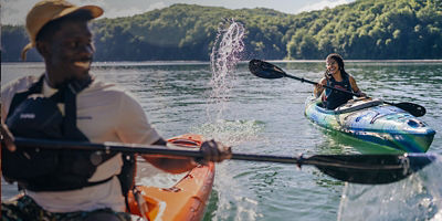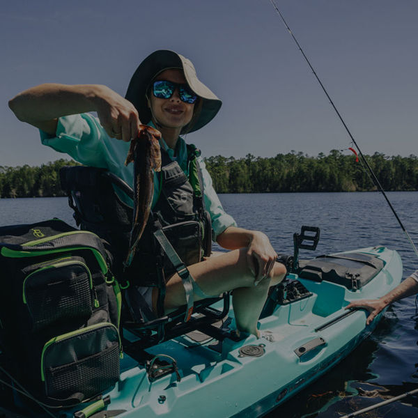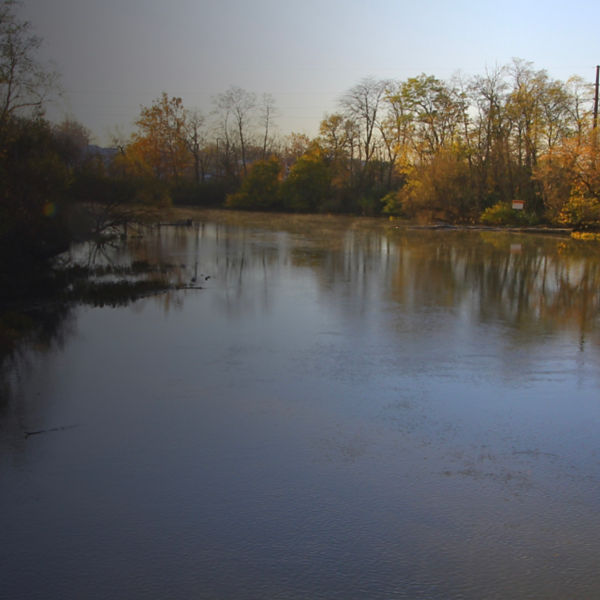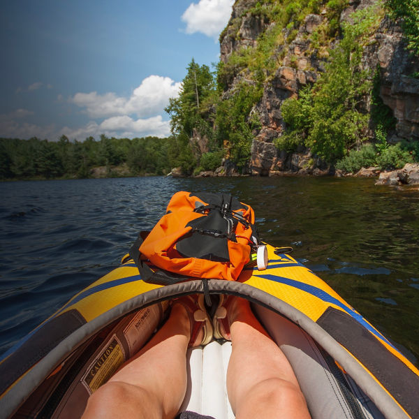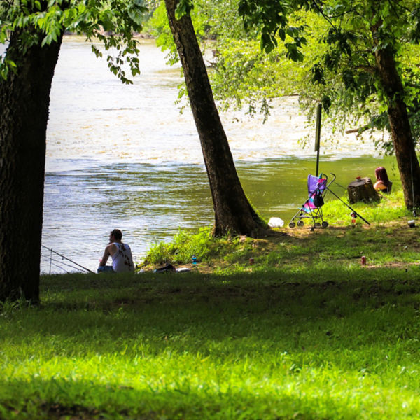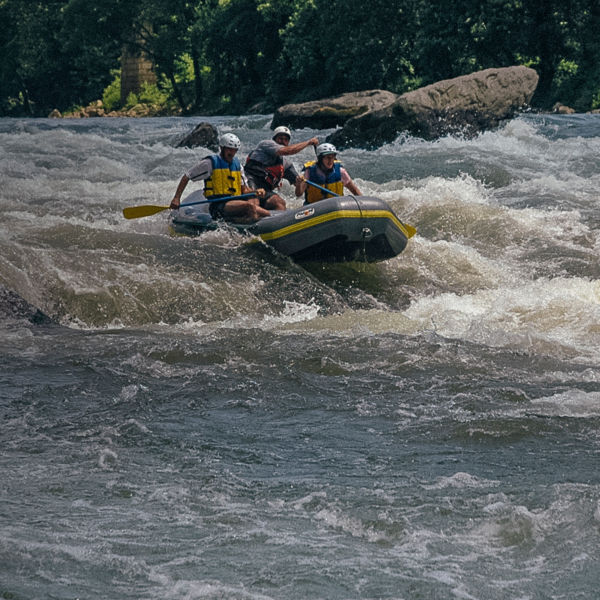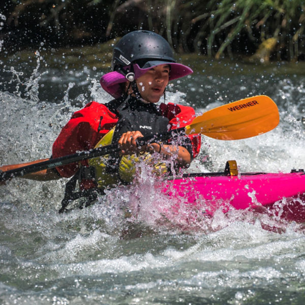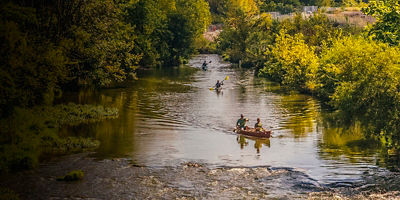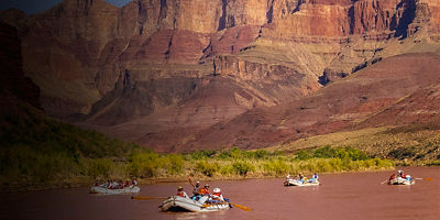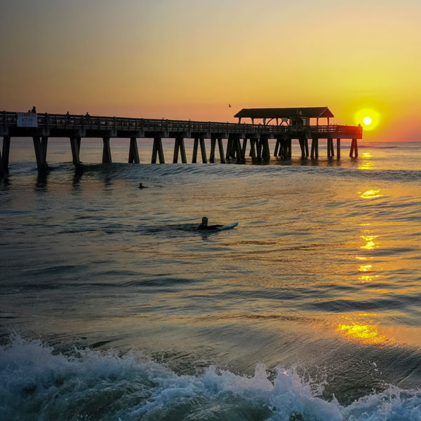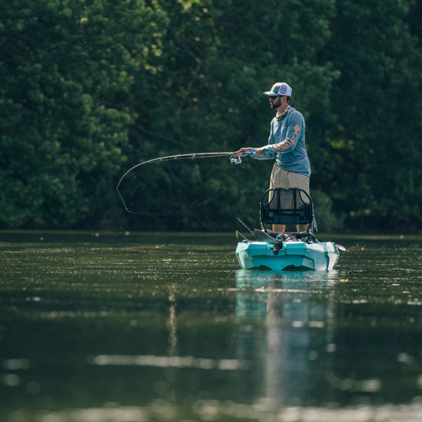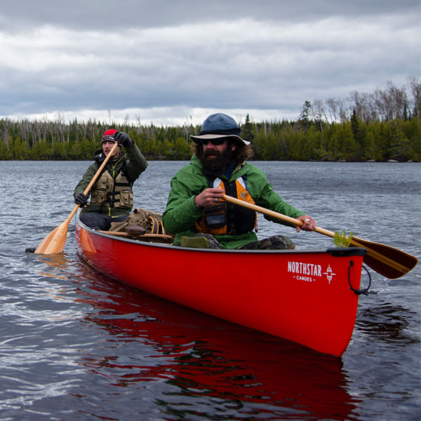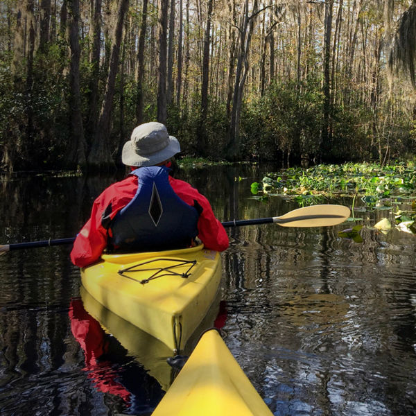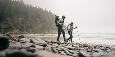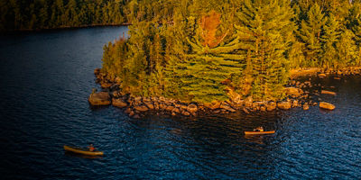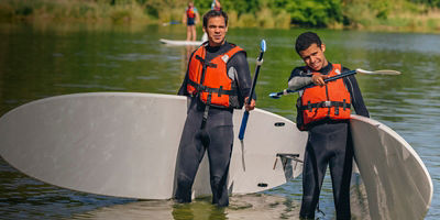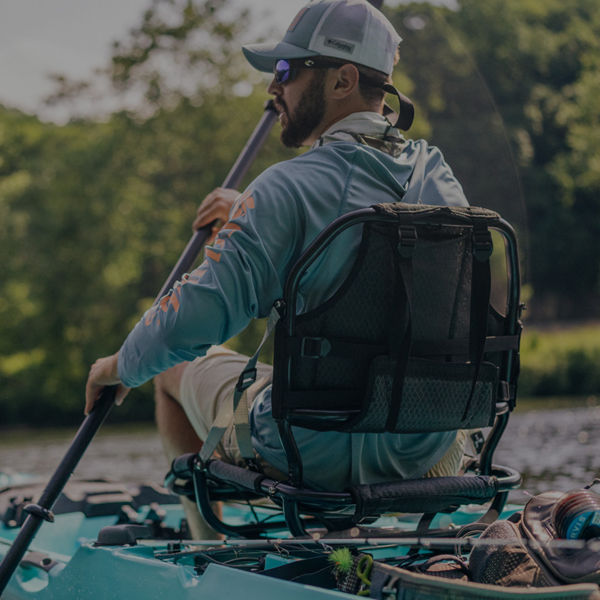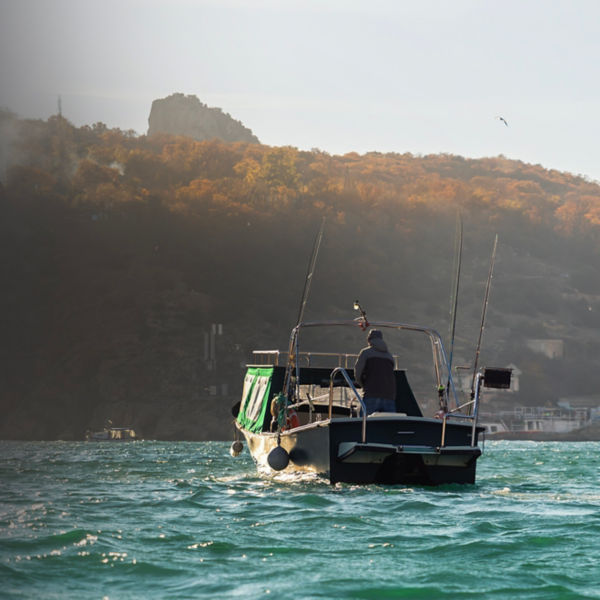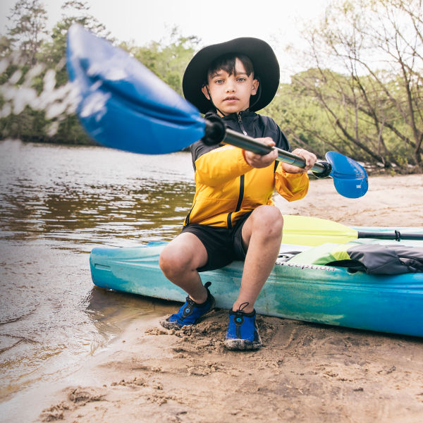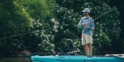


Flatwater Kayaking
Follow this guide and we’ll help you determine which type of boat is right for you, and how to get started.
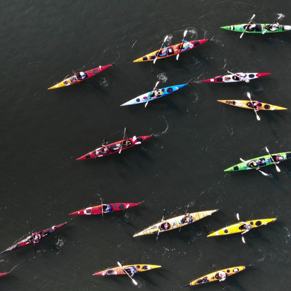
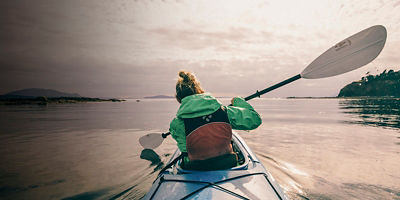
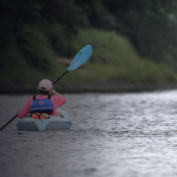
On water as on land, you need to know where you are and where you’re going. Navigational mistakes cost you time and energy at best, and can be life-threatening at worst. Finding your way on water has a few unique challenges, tricks, and shortcuts, so use this guide to confidently navigate, whether you're paddling for three hours or three weeks.
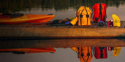
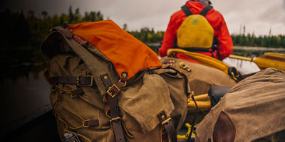
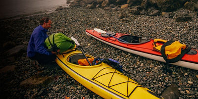
Bring the Right Equipment
GPS technology is amazing. But electronics can break and batteries can die. For unfamiliar areas, get both a map and a chart. A chart is for on-water navigation and will show you important navigational information like depths, buoy locations and numbers, currents, coastal features, and hazards.
For even more detailed information, some areas have what’s called a sailor’s or kayaker’s pilot guide. These can give you insights into dangers like whirlpools, which might not affect the larger ships that use standard charts.
Also bring: a compass, a pen or pencil, and a case for keeping your map both accessible and dry. A marine compass can be strapped to the deck of your kayak.
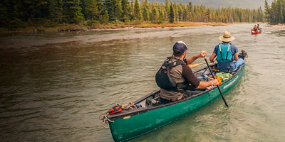
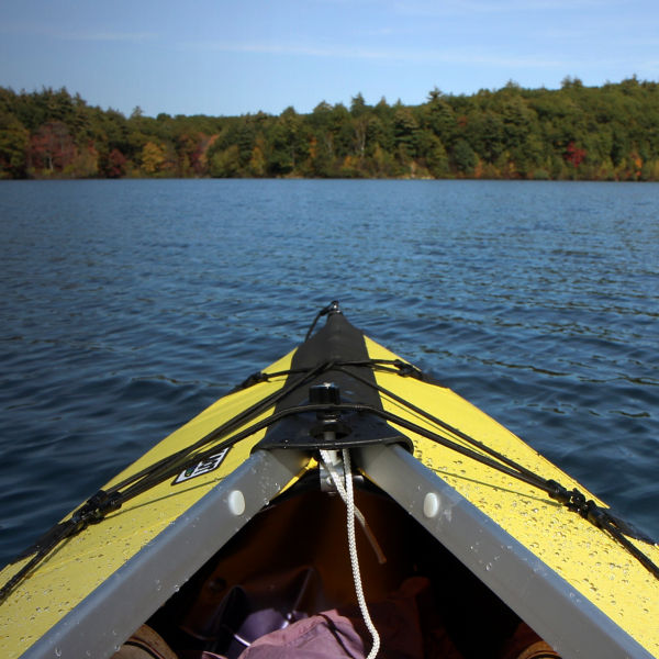
Look Around Constantly
Rule number one for never getting lost is always knowing where you are. Be hyper aware of your surroundings and match what you see to your map. Look for notable landmarks and geographical features. These are called landscape checks, and doing this diligently will be all you need to do on many trips—just keep your map out and refer to it regularly as you scan the terrain.
Know the Right Units
Distance on water is measured in nautical miles; a nautical mile is 1,852 meters or about 1.15 miles on land. You can use this information on a chart to calculate your speed with a watch. Mark the distance between two known landmarks and time how long it takes you to go from one to the other. With this information you can calculate your speed, which on the water is measured in knots. A knot is 1 nautical mile per hour.
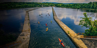
Stay on Course
Turbulent water, strong currents, and heavy winds can cause you to drift off course, but it can be hard to tell if that’s happening in open water. To combat this, use what’s called a range. A range is two stationary objects that work in tandem to show you if you’re drifting to the left or right.
To find a range you need two stationary objects that are in line in front of you, with one in the foreground and one in the background. These can be on land, on water, or some combination of the two. This could include a buoy, the end of an island, or a peak. As you paddle toward these points, you want to keep them lined up, which indicates you’re on track. If you do start drifting, they’ll tell you how to correct it. If you are drifting to the right, the object in the foreground will be on the left of the object in the background, and if you are floating to the left, the marker in the foreground will be to the right of the marker in the background.
Hit the Target
Navigating to a specific location that’s on a distant shoreline can be difficult. For example, if you’re trying to reach a campsite and don’t paddle straight to it, you might not know whether it’s to the left or right of where you reach the shore. Solution: a technique known as aiming off.
Instead of trying to paddle straight to your goal, aim to either the extreme left or the extreme right. That way when you do reach the shoreline, you don’t have to guess if your destination is to the left or right. If you aimed to the right, for example, you just need to work your way to the left until you find your point.
Shoot a Bearing
When visibility is limited or you’re making a long, open-water crossing, landmarks and ranges might not work. In these conditions—which are rare for most paddlers—you should use a GPS or compass to stay on track.
Shooting and following a bearing with a compass is the same as on land, but with one key difference if you’re using a nautical chart. Unlike conventional maps, most charts show both true north and magnetic north. This means you don’t have to adjust for declination (the difference between magnetic north and true north). Simply align the bow of your boat with magnetic north, align your compass to magnetic north, and turn the dial of your compass to the landmark or direction you want to go. This will give you the bearing to follow.
You can also plot a course ahead of time by drawing a line on your chart between notable landmarks and calculating the bearings you’ll need to follow. Label those on your map and regardless of visibility, you’ll know the course you need to set between landmarks.
All articles are for general informational purposes. Each individual’s needs, preferences, goals and abilities may vary. Be sure to obtain all appropriate training, expert supervision and/or medical advice before engaging in strenuous or potentially hazardous activity.